
Thank you for supporting this site ❤️
Make a donation
Make a donation
Gear up for your next adventure:
As an Amazon Associate, this site earns from qualifying purchases at no extra cost to you.
Telecom topographic map
Click on the map to display elevation.
Thank you for supporting this site ❤️
Make a donation
Make a donation
Gear up for your next adventure:
As an Amazon Associate, this site earns from qualifying purchases at no extra cost to you.
About this map
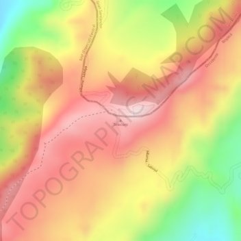
Name: Telecom topographic map, elevation, terrain.
Location: Telecom, Saboyá, Occidente, Boyacá, Colombie (5.71382 -73.81542 5.71392 -73.81532)
Average elevation: 10,600 ft
Minimum elevation: 9,829 ft
Maximum elevation: 11,073 ft
Thank you for supporting this site ❤️
Make a donation
Make a donation
Gear up for your next adventure:
As an Amazon Associate, this site earns from qualifying purchases at no extra cost to you.