Geolocate

Tillman topographic map

Click on the map to display elevation.

About this map

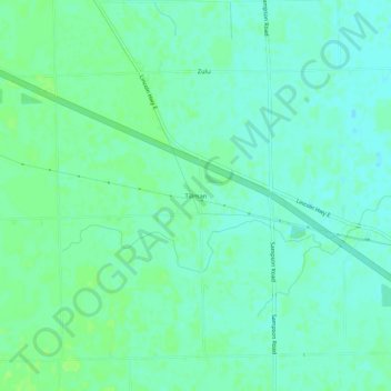
Name: Tillman topographic map, elevation, terrain.

Location: Tillman, Allen County, Indiana, 46773, United States (41.00422 -84.91330 41.04422 -84.87330)

Average elevation: 778 ft

Minimum elevation: 761 ft

Maximum elevation: 794 ft

Allen County trails, hiking, mountain biking, running and outdoor activities

Gear up for your next adventure:

🌐World Map Poster - Decorative world maps with topographic info
🧭Outdoor Navigation Book - Learn advanced navigation skills
🗺️NatGeo Topo Maps - High-quality waterproof printed topographic maps of US Parks
📖Nature Tracking Books - Learn to track wildlife and terrain
🏕️Tent Footprint - Protect your tent base from wear

As an Amazon Associate, this site earns from qualifying purchases at no extra cost to you.