Geolocate

Sepeteri topographic map

Click on the map to display elevation.

About this map

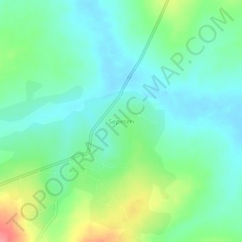
Name: Sepeteri topographic map, elevation, terrain.

Location: Sepeteri, Saki East, Oyo State, Nigeria (8.61333 3.63000 8.65333 3.67000)

Average elevation: 1,122 ft

Minimum elevation: 1,040 ft

Maximum elevation: 1,319 ft

Gear up for your next adventure:

🦶Carbon Trekking Poles - Reduce knee impact on steep descents with ultra-light poles
🔥Camping Stove - Portable stove for camping and backcountry cooking
🛡️Insect Repellent - Protection against bugs during outdoor activities
🌡️Portable Weather Meter - Track weather conditions on the trail
🪶Wildlife Field Guides - Learn animal tracking and species ID

As an Amazon Associate, this site earns from qualifying purchases at no extra cost to you.