
Donnelly topographic map
Click on the map to display elevation.
Donnelly
Donnelly is located at 44°43′49″N 116°4′37″W / 44.73028°N 116.07694°W / 44.73028; -116.07694, at an elevation of 4,865 feet (1,483 m) above sea level. According to the United States Census Bureau, the city has a total area of 0.45 square miles (1.17 km2), all of it land.
About this map
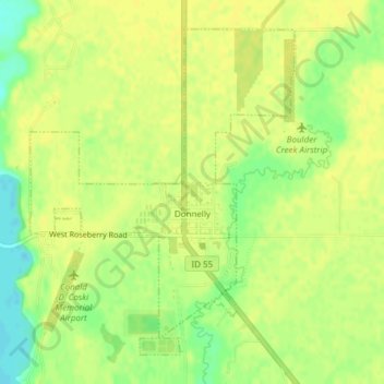
Name: Donnelly topographic map, elevation, terrain.
Location: Donnelly, Valley County, Idaho, United States (44.72257 -116.09364 44.74549 -116.06739)
Average elevation: 4,865 ft
Minimum elevation: 4,820 ft
Maximum elevation: 4,882 ft
Valley County trails, hiking, mountain biking, running and outdoor activities
Other topographic maps
Click on a map to view its topography, its elevation and its terrain.