Geolocate

Dickson topographic map

Click on the map to display elevation.

About this map

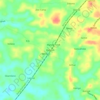
Name: Dickson topographic map, elevation, terrain.

Location: Dickson, Todee, Montserrado County, Liberia (6.62821 -10.49061 6.66821 -10.45061)

Average elevation: 308 ft

Minimum elevation: 236 ft

Maximum elevation: 400 ft

Gear up for your next adventure:

🌄Hiking Binoculars - Compact binoculars for scenic views and trail spotting
👟Men's Trail Runners - Lightweight footwear for fast-paced exploration and light hiking
🧥Men's Rain Shells - Premium waterproof and breathable jackets for mountain weather
❄️Traction Cleats - Prevent slips on icy trails during winter hikes
🛡️Bear Spray Outdoor - Protection in bear country hikes

As an Amazon Associate, this site earns from qualifying purchases at no extra cost to you.