Geolocate

Montebello topographic map

Click on the map to display elevation.

About this map

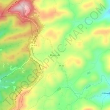
Name: Montebello topographic map, elevation, terrain.

Location: Montebello, Nelson County, Virginia, 24464, United States (37.83253 -79.15168 37.87253 -79.11168)

Average elevation: 2,867 ft

Minimum elevation: 2,165 ft

Maximum elevation: 3,940 ft

Nelson County trails, hiking, mountain biking, running and outdoor activities

Other topographic maps

Click on a map to view its topography, its elevation and its terrain.

Tye River

United States > Virginia > Nelson County

Average elevation: 823 ft

Piney River

United States > Virginia > Nelson County

Average elevation: 873 ft

Gear up for your next adventure:

📡Handheld GPS Device - Reliable handheld GPS for outdoor navigation
🥾Hiking Shoes - Durable and comfortable shoes for trail hiking
📚Navigation Handbooks - Master the art of reading topographic maps and using a compass
📦Dry Bags Set - Waterproof storage for electronics and clothes
🪑Portable Camp Table - Compact table for campsite meals

As an Amazon Associate, this site earns from qualifying purchases at no extra cost to you.