Geolocate

Narrows topographic map

Click on the map to display elevation.

About this map

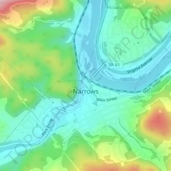
Name: Narrows topographic map, elevation, terrain.

Location: Narrows, Giles County, Virginia, 24214, United States (37.31984 -80.82729 37.34466 -80.79467)

Average elevation: 1,742 ft

Minimum elevation: 1,506 ft

Maximum elevation: 2,313 ft

Giles County trails, hiking, mountain biking, running and outdoor activities

Other topographic maps

Click on a map to view its topography, its elevation and its terrain.

Kimballton

United States > Virginia > Giles County

Average elevation: 2,073 ft

Mountain Lake

United States > Virginia > Giles County > Mountain Lake

Average elevation: 3,675 ft

Midway

United States > Virginia > Giles County

Average elevation: 1,827 ft

Gear up for your next adventure:

🏕️Tent Footprint - Protect your tent base from wear
🔭Compact Binoculars - HD vision for scouting terrain and identifying distant landmarks
🪶Fire Starter Kit - Reliable fire starter for survival and camping
🧭Orienteering Set - Complete compass and map reading kit
🛏️Cold Weather Sleeping Bag - Warm sleeping bag for cold conditions

As an Amazon Associate, this site earns from qualifying purchases at no extra cost to you.