
Barbeau Peak topographic map
Interactive map
Click on the map to display elevation.
About this map
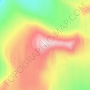
Name: Barbeau Peak topographic map, elevation, terrain.
Location: Barbeau Peak, Nunavut, Canadá (81.92662 -74.98672 81.92672 -74.98662)
Average elevation: 7,260 ft
Minimum elevation: 6,368 ft
Maximum elevation: 8,232 ft
Other topographic maps
Click on a map to view its topography, its elevation and its terrain.
Isla de Ellesmere
Isla de Ellesmere, Nunavut, X0A 0J0, Canadá
Average elevation: 1,624 ft
Isla del Príncipe de Gales
Isla del Príncipe de Gales, Nunavut, Canadá
Average elevation: 102 ft