
Matachewan topographic map
Interactive map
Click on the map to display elevation.
About this map
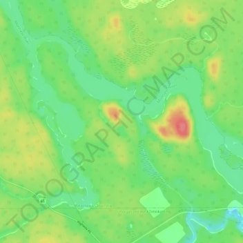
Name: Matachewan topographic map, elevation, terrain.
Location: Matachewan, Timiskaming District, Ontario, Canada (47.84234 -80.50000 47.87027 -80.44161)
Average elevation: 1,001 ft
Minimum elevation: 906 ft
Maximum elevation: 1,129 ft