
Leitenberg topographic map
Interactive map
Click on the map to display elevation.
About this map
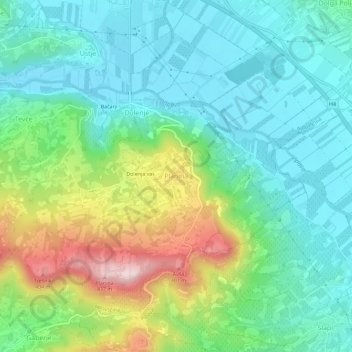
Name: Leitenberg topographic map, elevation, terrain.
Location: Leitenberg, Haidenschaft, 5270, Slowenien (45.83692 13.88904 45.87692 13.92904)
Average elevation: 584 ft
Minimum elevation: 259 ft
Maximum elevation: 1,391 ft
Other topographic maps
Click on a map to view its topography, its elevation and its terrain.