
Stockton topographic map
Click on the map to display elevation.
About this map
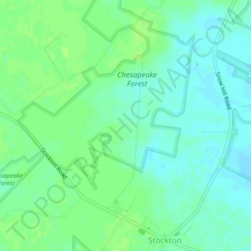
Name: Stockton topographic map, elevation, terrain.
Location: Stockton, Worcester County, Maryland, United States (38.05308 -75.43092 38.07905 -75.40088)
Average elevation: 26 ft
Minimum elevation: 7 ft
Maximum elevation: 43 ft
Worcester County trails, hiking, mountain biking, running and outdoor activities