
广通镇 topographic map
Interactive map
Click on the map to display elevation.
About this map
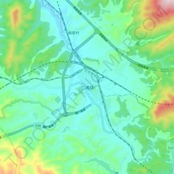
Name: 广通镇 topographic map, elevation, terrain.
Location: 广通镇, 禄丰市, 楚雄彝族自治州, 云南省, 中国 (25.12562 101.70920 25.20562 101.78920)
Average elevation: 6,217 ft
Minimum elevation: 5,797 ft
Maximum elevation: 7,631 ft
Other topographic maps
Click on a map to view its topography, its elevation and its terrain.