
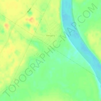
Мяндиги topographic map
Interactive map
Click on the map to display elevation.
About this map
Name: Мяндиги topographic map, elevation, terrain.
Average elevation: 443 ft
Minimum elevation: 394 ft
Maximum elevation: 492 ft
Other topographic maps
Click on a map to view its topography, its elevation and its terrain.
Amga
Russia > Sakha Republic > Amginsky Ulus
Amga, Амгинский наслег, Amginsky Ulus, Sakha Republic, Far Eastern Federal District, 678600, Russia
Average elevation: 528 ft