Geolocate

Capantawan topographic map

Click on the map to display elevation.

About this map

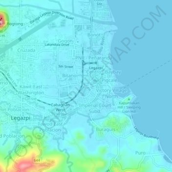
Name: Capantawan topographic map, elevation, terrain.

Location: Capantawan, Legazpi, Albay, Bicol Region, 4500, Philippines (13.12622 123.73000 13.16622 123.77000)

Average elevation: 43 ft

Minimum elevation: 0 ft

Maximum elevation: 466 ft

Gear up for your next adventure:

🔪Outdoor Multitools - Essential survival tools for gear repair and field use
🎒Trekking Poles - Sturdy poles for balance and stability on rough terrain
🧣Merino Neck Gaiters - Multi-functional headwear for wind and sun protection
🥇GPS Hiking Watch - Multi‑sport GPS watch with navigation and trail tracking
🧼Biodegradable Camping Soap - Eco‑friendly soap for outdoor hygiene

As an Amazon Associate, this site earns from qualifying purchases at no extra cost to you.