
Rift topographic map
Click on the map to display elevation.
About this map
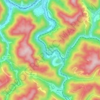
Name: Rift topographic map, elevation, terrain.
Location: Rift, McDowell County, West Virginia, 24894, United States (37.26484 -81.69178 37.30484 -81.65178)
Average elevation: 1,814 ft
Minimum elevation: 1,322 ft
Maximum elevation: 2,313 ft
West Virginia trails, hiking, mountain biking, running and outdoor activities