
Bolton topographic map
Click on the map to display elevation.
About this map
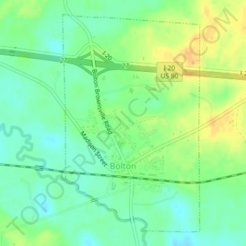
Name: Bolton topographic map, elevation, terrain.
Location: Bolton, Hinds County, Mississippi, United States (32.34205 -90.46796 32.36599 -90.45008)
Average elevation: 223 ft
Minimum elevation: 180 ft
Maximum elevation: 279 ft
Hinds County trails, hiking, mountain biking, running and outdoor activities