
Pleasantville topographic map
Click on the map to display elevation.
About this map
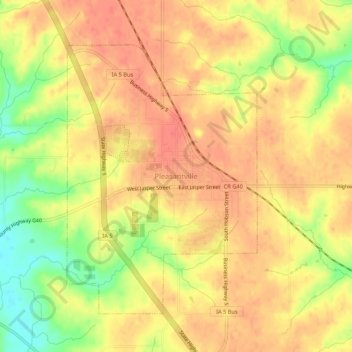
Name: Pleasantville topographic map, elevation, terrain.
Location: Pleasantville, Marion County, Iowa, 50225, United States (41.36677 -93.28948 41.40677 -93.24948)
Average elevation: 889 ft
Minimum elevation: 778 ft
Maximum elevation: 942 ft
Marion County trails, hiking, mountain biking, running and outdoor activities