
Chipipe topographic map
Click on the map to display elevation.
About this map
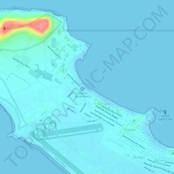
Name: Chipipe topographic map, elevation, terrain.
Location: Chipipe, Salinas, Santa Elena Province, Ecuador (-2.20063 -80.98694 -2.19143 -80.97587)
Average elevation: 23 ft
Minimum elevation: -3 ft
Maximum elevation: 295 ft