Geolocate

Champaner topographic map

Click on the map to display elevation.

About this map

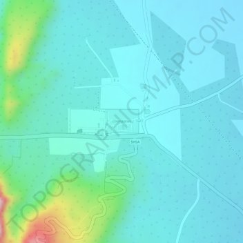
Name: Champaner topographic map, elevation, terrain.

Location: Champaner, Halol Taluka, Panch Mahal District, Gujarat, India (22.48338 73.53232 22.48613 73.53642)

Average elevation: 568 ft

Minimum elevation: 423 ft

Maximum elevation: 1,237 ft

Gear up for your next adventure:

🪶Multi‑Purpose Knife - Useful blade for camp and trail
🛰️Satellite Messengers - Emergency SOS and two-way messaging for off-grid adventures
🩹Survival Bandages - High‑quality bandages for emergencies
GPS Sports Watch - GPS watch for running, hiking and training
🔥Plasma Lighters - Windproof lighters that work in any weather condition

As an Amazon Associate, this site earns from qualifying purchases at no extra cost to you.