Geolocate

Mabushipe topographic map

Click on the map to display elevation.

About this map

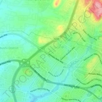
Name: Mabushipe topographic map, elevation, terrain.

Location: Mabushipe, Municipal Area Council, Federal Capital Territory, 900288, Nigeria (9.06250 7.44694 9.10250 7.48694)

Average elevation: 1,591 ft

Minimum elevation: 1,460 ft

Maximum elevation: 1,896 ft

Other topographic maps

Click on a map to view its topography, its elevation and its terrain.

Gear up for your next adventure:

🌲Outdoor Survival Books - Best books on survival skills
Solar GPS Watches - Advanced multisport watches with built-in topographic maps
🏔️Mountain Trail Maps - High‑detail maps for popular peaks
🔥Camping Stove - Portable stove for camping and backcountry cooking
🥇GPS Hiking Watch - Multi‑sport GPS watch with navigation and trail tracking

As an Amazon Associate, this site earns from qualifying purchases at no extra cost to you.