
Nandi topographic map
Click on the map to display elevation.
About this map
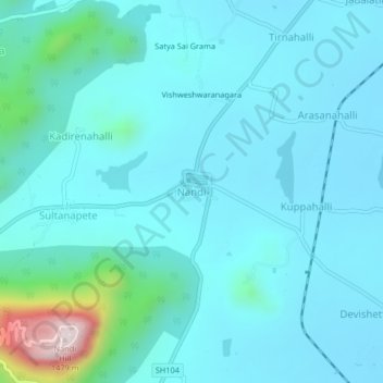
Name: Nandi topographic map, elevation, terrain.
Average elevation: 3,241 ft
Minimum elevation: 3,015 ft
Maximum elevation: 4,826 ft
Other topographic maps
Click on a map to view its topography, its elevation and its terrain.
Nandi Hills State Forest
India > Karnataka > Chikkaballapura taluk > Suddahalli
Average elevation: 2,838 ft
Nandi Hills State Forest
India > Karnataka > Chikkaballapura taluk > Kanivenarayanapura
Average elevation: 2,799 ft
Nandi Hills State Forest
India > Karnataka > Chikkaballapura taluk > Kanivenarayanapura
Average elevation: 2,799 ft