
水口镇 topographic map
Interactive map
Click on the map to display elevation.
About this map
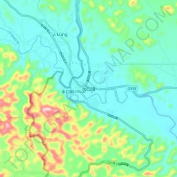
Name: 水口镇 topographic map, elevation, terrain.
Location: 水口镇, 龙州县, 崇左市, 广西壮族自治区, 中国 (22.42861 106.54737 22.50861 106.62737)
Average elevation: 738 ft
Minimum elevation: 410 ft
Maximum elevation: 1,729 ft