Geolocate

Manikpur topographic map

Click on the map to display elevation.

About this map

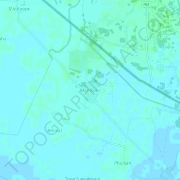
Name: Manikpur topographic map, elevation, terrain.

Location: Manikpur, Narpatganj, Araria, Bihar, 854336, India (26.39253 87.10709 26.43253 87.14709)

Average elevation: 230 ft

Minimum elevation: 223 ft

Maximum elevation: 240 ft

Gear up for your next adventure:

🛰️Handheld GPS Units - Professional satellite navigators for precise backcountry mapping
🔌Solar Panel Charger - Charge gear sustainably outdoors
🔦LED Headlamp - Bright and durable LED headlamp for night navigation
🧭Pro Hiking Compasses - High-accuracy liquid-filled compasses for topographic orientation
Backpacking Tent - Lightweight and durable tent for multi‑day hikes

As an Amazon Associate, this site earns from qualifying purchases at no extra cost to you.