Geolocate

Silangan topographic map

Click on the map to display elevation.

About this map

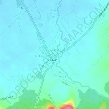
Name: Silangan topographic map, elevation, terrain.

Location: Silangan, Calauan, Laguna, Calabarzon, 4012, Philippines (14.14391 121.31332 14.14952 121.31757)

Average elevation: 79 ft

Minimum elevation: 26 ft

Maximum elevation: 394 ft

Other topographic maps

Click on a map to view its topography, its elevation and its terrain.

Mount Mabilog

Philippines > Laguna > Calauan

Average elevation: 499 ft

Balayhangin

Philippines > Laguna > Calauan

Average elevation: 285 ft

Kalisungan

Philippines > Laguna > Calauan

Average elevation: 961 ft

Imoc Hill

Philippines > Laguna > Calauan

Average elevation: 486 ft

Lamot 2

Philippines > Laguna > Calauan

Average elevation: 361 ft

Gear up for your next adventure:

🚑Emergency Bivvies - Heat-reflective sleeping bags for survival situations
🧭Compass with Lanyard - Easy‑carry compass for navigation
🏔️Mountain Trail Maps - High‑detail maps for popular peaks
📻Weather Alert Radios - Stay informed of storm risks while off-the-grid
🦟Ultrasonic Repellers - Create a bug-free zone at your camp or rest stop

As an Amazon Associate, this site earns from qualifying purchases at no extra cost to you.