
Legasa topographic map
Click on the map to display elevation.
About this map
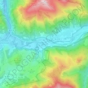
Name: Legasa topographic map, elevation, terrain.
Location: Legasa, Bertizarana, Baztan-Bidasoa, Navarre, 31792, Spain (43.11040 -1.66412 43.15040 -1.62412)
Average elevation: 997 ft
Minimum elevation: 351 ft
Maximum elevation: 2,208 ft