
Thank you for supporting this site ❤️
Make a donation
Make a donation
Gear up for your next adventure:
As an Amazon Associate, this site earns from qualifying purchases at no extra cost to you.
Cognebeau topographic map
Click on the map to display elevation.
Thank you for supporting this site ❤️
Make a donation
Make a donation
Gear up for your next adventure:
As an Amazon Associate, this site earns from qualifying purchases at no extra cost to you.
About this map
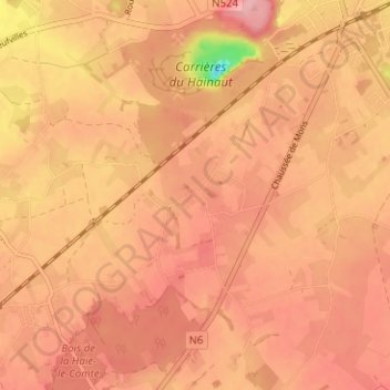
Name: Cognebeau topographic map, elevation, terrain.
Location: Cognebeau, Soignies, Hainaut, Wallonia, 7060, Belgium (50.53464 4.02216 50.57464 4.06216)
Average elevation: 318 ft
Minimum elevation: 16 ft
Maximum elevation: 433 ft
Thank you for supporting this site ❤️
Make a donation
Make a donation
Gear up for your next adventure:
As an Amazon Associate, this site earns from qualifying purchases at no extra cost to you.