
Qazax topographic map
Click on the map to display elevation.
Qazax
Gazakh region is located in the western part of the republic, in the western part of the vast Ganja-Gazakh plain, which starts from the slopes of the mountain range of the Lesser Caucasus and extends along the right bank of the Kura river. The highest elevation is "Odun" mountain (1316 meters). Its nature is mainly plain, the southern part is low mountainous.
About this map
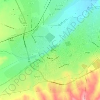
Name: Qazax topographic map, elevation, terrain.
Location: Qazax, Qazakh District, Qazakh-Tovuz, Azerbaijan (41.07566 45.33123 41.11325 45.38891)
Average elevation: 1,253 ft
Minimum elevation: 1,066 ft
Maximum elevation: 1,549 ft
Other topographic maps
Click on a map to view its topography, its elevation and its terrain.