
Strafford topographic map
Click on the map to display elevation.
About this map
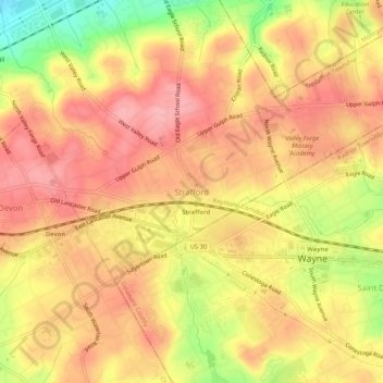
Name: Strafford topographic map, elevation, terrain.
Average elevation: 436 ft
Minimum elevation: 194 ft
Maximum elevation: 561 ft
Chester County trails, hiking, mountain biking, running and outdoor activities
Other topographic maps
Click on a map to view its topography, its elevation and its terrain.
Chesterbrook
United States > Pennsylvania > Chester County > Tredyffrin Township > Chesterbrook
Average elevation: 230 ft
Chesterbrook
United States > Pennsylvania > Chester County > Tredyffrin Township
Average elevation: 230 ft