Bhasariya topographic map
Click on the map to display elevation.
About this map
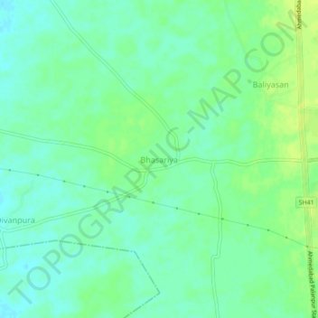
Name: Bhasariya topographic map, elevation, terrain.
Average elevation: 282 ft
Minimum elevation: 259 ft
Maximum elevation: 308 ft

Click on the map to display elevation.
Name: Bhasariya topographic map, elevation, terrain.
Average elevation: 282 ft
Minimum elevation: 259 ft
Maximum elevation: 308 ft
As an Amazon Associate, this site earns from qualifying purchases at no extra cost to you.