Geolocate

Hernando Beach topographic map

Click on the map to display elevation.

About this map
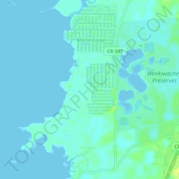
Name: Hernando Beach topographic map, elevation, terrain.

Location: Hernando Beach, Hernando County, Florida, United States (28.44924 -82.68430 28.50406 -82.64891)

Average elevation: 10 ft

Minimum elevation: -3 ft

Maximum elevation: 49 ft

Hernando County trails, hiking, mountain biking, running and outdoor activities

Gear up for your next adventure:

📻Weather Alert Radios - Stay informed of storm risks while off-the-grid
🎒Hydration Pack - Hands‑free water reservoir for long hikes
🧢Outdoor Hiking Hat - Sun protection hat for outdoor explorers
🧭GPS Watch Accessories - Bands and chargers for GPS watches
🏕️Tent Footprint - Protect your tent base from wear

As an Amazon Associate, this site earns from qualifying purchases at no extra cost to you.