
Thank you for supporting this site ❤️
Make a donation
Make a donation
Gear up for your next adventure:
As an Amazon Associate, this site earns from qualifying purchases at no extra cost to you.
Muthiga topographic map
Click on the map to display elevation.
Thank you for supporting this site ❤️
Make a donation
Make a donation
Gear up for your next adventure:
As an Amazon Associate, this site earns from qualifying purchases at no extra cost to you.
About this map
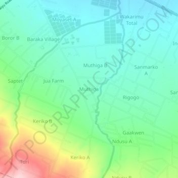
Name: Muthiga topographic map, elevation, terrain.
Location: Muthiga, Mosop ward, Rongai, Nakuru, Rift Valley, Kenya (-0.25667 35.83776 -0.21667 35.87776)
Average elevation: 6,490 ft
Minimum elevation: 6,293 ft
Maximum elevation: 6,991 ft
Thank you for supporting this site ❤️
Make a donation
Make a donation
Gear up for your next adventure:
As an Amazon Associate, this site earns from qualifying purchases at no extra cost to you.