Geolocate

Atash topographic map

Click on the map to display elevation.

About this map

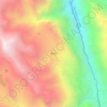
Name: Atash topographic map, elevation, terrain.

Location: Atash, Huachis, Huari, Áncash, Perú (-9.47556 -77.06426 -9.43556 -77.02426)

Average elevation: 13,002 ft

Minimum elevation: 10,285 ft

Maximum elevation: 15,348 ft

Gear up for your next adventure:

🪶Trail Camera - Capture wildlife on your hikes
🧢Outdoor Hiking Hat - Sun protection hat for outdoor explorers
🪄Magnetic Compass - Accurate compass for navigation
🔦Powerful Headlamps - Ultra-bright hands-free lighting for night navigation
🎒Trail Energy Bars - High‑calorie bars for hiking energy

As an Amazon Associate, this site earns from qualifying purchases at no extra cost to you.