Geolocate

Whitten topographic map

Click on the map to display elevation.

About this map

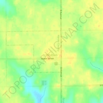
Name: Whitten topographic map, elevation, terrain.

Location: Whitten, Hardin County, Iowa, 50269, United States (42.25621 -93.02137 42.26717 -93.00188)

Average elevation: 1,027 ft

Minimum elevation: 978 ft

Maximum elevation: 1,050 ft

Hardin County trails, hiking, mountain biking, running and outdoor activities

Other topographic maps

Click on a map to view its topography, its elevation and its terrain.

Garden City

United States > Iowa > Hardin County

Average elevation: 1,178 ft

Gifford

United States > Iowa > Hardin County

Average elevation: 971 ft

Gear up for your next adventure:

🔊Portable Camp Speaker - Music and alerts at camp
🔥Camping Stove - Portable stove for camping and backcountry cooking
📻Weather Alert Radios - Stay informed of storm risks while off-the-grid
🛡️Insect Repellent - Protection against bugs during outdoor activities
🦶Carbon Trekking Poles - Reduce knee impact on steep descents with ultra-light poles

As an Amazon Associate, this site earns from qualifying purchases at no extra cost to you.