Geolocate

Ratanpur topographic map

Click on the map to display elevation.

About this map

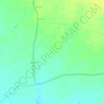
Name: Ratanpur topographic map, elevation, terrain.

Location: Ratanpur, Chandurbazar, Amravati, Maharashtra, India (21.32505 77.63070 21.34310 77.64768)

Average elevation: 1,339 ft

Minimum elevation: 1,306 ft

Maximum elevation: 1,378 ft

Gear up for your next adventure:

🚪Portable Camp Chair - Foldable chair for comfort at camp
🧭Compass with Lanyard - Easy‑carry compass for navigation
🧭GPS Watch Accessories - Bands and chargers for GPS watches
🧥Men's Rain Shells - Premium waterproof and breathable jackets for mountain weather
🦶Hiking Gaiters - Keep debris and water out of your boots

As an Amazon Associate, this site earns from qualifying purchases at no extra cost to you.