Geolocate

Hotagi topographic map

Click on the map to display elevation.

About this map

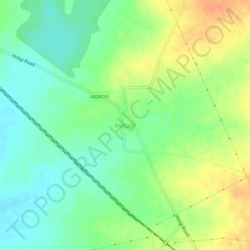
Name: Hotagi topographic map, elevation, terrain.

Location: Hotagi, Solapur South, Solapur, Maharashtra, India (17.57065 75.95465 17.61065 75.99465)

Average elevation: 1,506 ft

Minimum elevation: 1,450 ft

Maximum elevation: 1,578 ft

Gear up for your next adventure:

🧭Pro Hiking Compasses - High-accuracy liquid-filled compasses for topographic orientation
🪵Folding Camp Saw - Compact saw for wood and campsite work
🔥Camping Stove - Portable stove for camping and backcountry cooking
🚁Photography Drones - Capture stunning aerial views of landforms and topography
🧣Merino Neck Gaiters - Multi-functional headwear for wind and sun protection

As an Amazon Associate, this site earns from qualifying purchases at no extra cost to you.