
乐从镇 topographic map
Interactive map
Click on the map to display elevation.
About this map
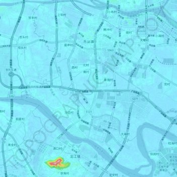
Name: 乐从镇 topographic map, elevation, terrain.
Location: 乐从镇, 顺德区, 佛山市, 广东省, 中国 (22.87964 113.03831 22.98302 113.15118)
Average elevation: 13 ft
Minimum elevation: -16 ft
Maximum elevation: 528 ft
Other topographic maps
Click on a map to view its topography, its elevation and its terrain.