
Surfleet CP topographic map
Click on the map to display elevation.
About this map
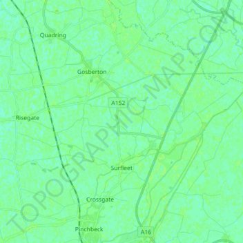
Name: Surfleet CP topographic map, elevation, terrain.
Average elevation: 13 ft
Minimum elevation: 0 ft
Maximum elevation: 23 ft
Other topographic maps
Click on a map to view its topography, its elevation and its terrain.
Shepeau Stow
United Kingdom > England > Lincolnshire > South Holland > Whaplode Drove
Average elevation: 7 ft
Spalding Marsh
United Kingdom > England > Lincolnshire > South Holland > Weston CP
Average elevation: 13 ft
Holbeach Marsh
United Kingdom > England > Lincolnshire > South Holland > Holbeach CP > Holbeach St Marks
Average elevation: 13 ft
Holbeach Clough
United Kingdom > England > Lincolnshire > South Holland > Holbeach CP > Saracen's Head
Average elevation: 13 ft
Tongue End
United Kingdom > England > Lincolnshire > South Holland > Tongue End
Average elevation: 7 ft
Low Fulney Estate
United Kingdom > England > Lincolnshire > South Holland > Spalding
Average elevation: 13 ft