Geolocate

Migalo topographic map

Click on the map to display elevation.

About this map

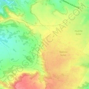
Name: Migalo topographic map, elevation, terrain.

Location: Migalo, Samper de Calanda, Bajo Martín, Aragon, 44520, Spain (41.19810 -0.36190 41.21810 -0.34190)

Average elevation: 823 ft

Minimum elevation: 686 ft

Maximum elevation: 945 ft

Gear up for your next adventure:

🥄Camping Utensil Set - Lightweight utensils for outdoor meals
🥾Women's Hiking Boots - Top-rated trail boots with ankle support and superior grip
Backpacking Tent - Lightweight and durable tent for multi‑day hikes
Camping Coffee Makers - Enjoy premium coffee at the summit or campsite
🔥Fast-Boil Camping Stoves - Efficient cooking systems for quick trail meals

As an Amazon Associate, this site earns from qualifying purchases at no extra cost to you.