
Coalinga topographic map
Click on the map to display elevation.
Coalinga
Coalinga is located 52 miles (84 km) southwest of Fresno, at an elevation of 673 feet (205 m). The topography is generally level, suitable for a number of field crops which do not require large amounts of water. It is located near the eastern foothills of the Diablo Range.
About this map
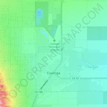
Name: Coalinga topographic map, elevation, terrain.
Location: Coalinga, Fresno County, California, United States (36.12052 -120.37562 36.18044 -120.32175)
Average elevation: 709 ft
Minimum elevation: 591 ft
Maximum elevation: 1,138 ft
Fresno County trails, hiking, mountain biking, running and outdoor activities