Geolocate

Rashaya topographic map

Click on the map to display elevation.

About this map

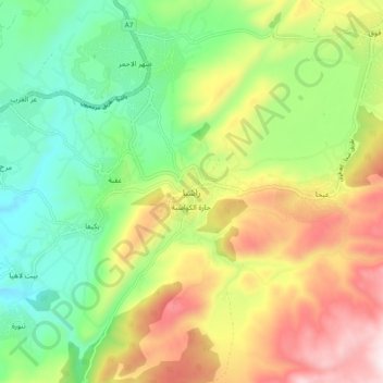
Name: Rashaya topographic map, elevation, terrain.

Location: Rashaya, Rashayya District, Beqaa Governorate, Lebanon (33.46142 35.80488 33.54142 35.88488)

Average elevation: 3,855 ft

Minimum elevation: 2,838 ft

Maximum elevation: 5,358 ft

Gear up for your next adventure:

🪶LED Camping Lantern - Bright lantern for camp lighting
🛰️Satellite Messengers - Emergency SOS and two-way messaging for off-grid adventures
📡Handheld GPS Device - Reliable handheld GPS for outdoor navigation
🚪Portable Camp Chair - Foldable chair for comfort at camp
🥇GPS Hiking Watch - Multi‑sport GPS watch with navigation and trail tracking

As an Amazon Associate, this site earns from qualifying purchases at no extra cost to you.