Geolocate

Smithville topographic map

Click on the map to display elevation.

About this map

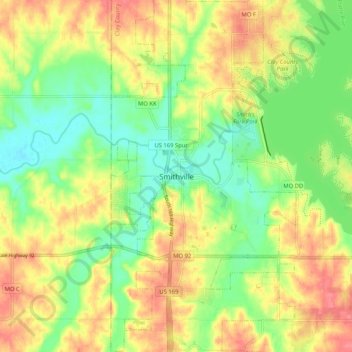
Name: Smithville topographic map, elevation, terrain.

Location: Smithville, Clay County, Missouri, 64089, United States (39.34684 -94.62159 39.42684 -94.54159)

Average elevation: 889 ft

Minimum elevation: 787 ft

Maximum elevation: 997 ft

Clay County trails, hiking, mountain biking, running and outdoor activities

Gear up for your next adventure:

🎒Trekking Poles - Sturdy poles for balance and stability on rough terrain
🧭Hiking Compass - Precision compass for reliable navigation in the wilderness
🔊Portable Camp Speaker - Music and alerts at camp
🧦Hiking Socks - Comfortable socks to prevent blisters on long hikes
📻Weather Alert Radios - Stay informed of storm risks while off-the-grid

As an Amazon Associate, this site earns from qualifying purchases at no extra cost to you.