Geolocate

Maplewood topographic map

Click on the map to display elevation.

About this map

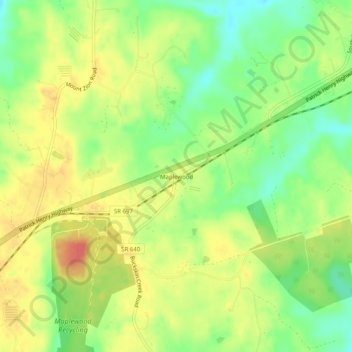
Name: Maplewood topographic map, elevation, terrain.

Location: Maplewood, Amelia County, Virginia, United States (37.29626 -78.06861 37.33626 -78.02861)

Average elevation: 381 ft

Minimum elevation: 282 ft

Maximum elevation: 472 ft

Amelia County trails, hiking, mountain biking, running and outdoor activities

Gear up for your next adventure:

📷Action Camera - Capture your outdoor adventures in HD
🛌Ultralight Sleeping Bags - Compact down bags for cold nights in the wilderness
🪑Ultralight Camp Chairs - Portable seating for resting after a long day of mapping
🪶Survival Guide Book - Expert advice for emergency preparedness
🏫Relief Map Kits - Hands-on tools for teaching landforms and elevation

As an Amazon Associate, this site earns from qualifying purchases at no extra cost to you.