Geolocate

Pampa topographic map

Click on the map to display elevation.

About this map

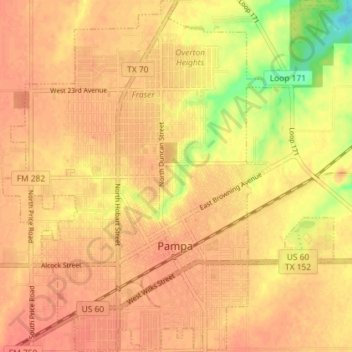
Name: Pampa topographic map, elevation, terrain.

Location: Pampa, Gray County, Texas, 79065, United States (35.51855 -100.99568 35.57719 -100.92760)

Average elevation: 3,225 ft

Minimum elevation: 3,110 ft

Maximum elevation: 3,261 ft

Gray County trails, hiking, mountain biking, running and outdoor activities

Other topographic maps

Click on a map to view its topography, its elevation and its terrain.

Alanreed

United States > Texas > Gray County

Average elevation: 2,966 ft

Gear up for your next adventure:

🔦LED Headlamp - Bright and durable LED headlamp for night navigation
🪑Ultralight Camp Chairs - Portable seating for resting after a long day of mapping
🛌Ultralight Sleeping Bags - Compact down bags for cold nights in the wilderness
🧢Sun Protection Hats - Wide-brimmed and UPF-rated hats for high-altitude sun safety
🛶Inflatable Kayak - Portable kayak for rivers, lakes, and expeditions

As an Amazon Associate, this site earns from qualifying purchases at no extra cost to you.