Geolocate

Rajuntay topographic map

Click on the map to display elevation.
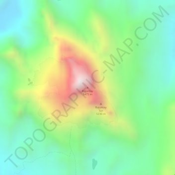
Rajuntay

Rajuntay o Raujunte es una montaña del Perú con una altitud de 5,475 m s. n. m.​ Está situada en los Andes del Perú, en la provincia de Yauli en el departamento de Junín.

Wikipedia (CC-BY-SA 3.0)

About this map

Name: Rajuntay topographic map, elevation, terrain.

Location: Rajuntay, Marcapomacocha, Yauli, Junín, Perú (-11.54256 -76.24550 -11.54246 -76.24540)

Average elevation: 16,178 ft

Minimum elevation: 15,236 ft

Maximum elevation: 17,795 ft

Gear up for your next adventure:

🚁Photography Drones - Capture stunning aerial views of landforms and topography
🧯Portable Fire Pit - Compact fire pit for camping spots
🗻Climbing Gear Basics - Essential gear for beginner climbers
🕶️Glacier Sunglasses - Side shields to protect eyes from high-altitude snow glare
📶Vehicle Signal Boosters - Improve reception in rural areas while driving to trailheads

As an Amazon Associate, this site earns from qualifying purchases at no extra cost to you.