
Marvin topographic map
Click on the map to display elevation.
About this map
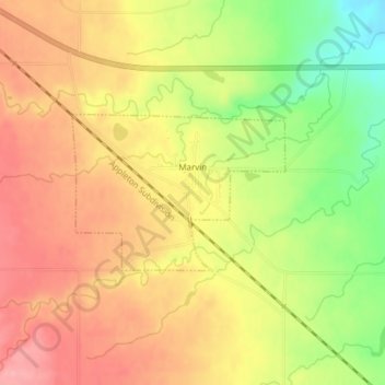
Name: Marvin topographic map, elevation, terrain.
Location: Marvin, Grant County, South Dakota, United States (45.25408 -96.92461 45.26508 -96.90333)
Average elevation: 1,644 ft
Minimum elevation: 1,421 ft
Maximum elevation: 1,798 ft
Grant County trails, hiking, mountain biking, running and outdoor activities