
Thank you for supporting this site ❤️
Make a donation
Make a donation
Gear up for your next adventure:
As an Amazon Associate, this site earns from qualifying purchases at no extra cost to you.
Schmerzke topographic map
Click on the map to display elevation.
Thank you for supporting this site ❤️
Make a donation
Make a donation
Gear up for your next adventure:
As an Amazon Associate, this site earns from qualifying purchases at no extra cost to you.
About this map
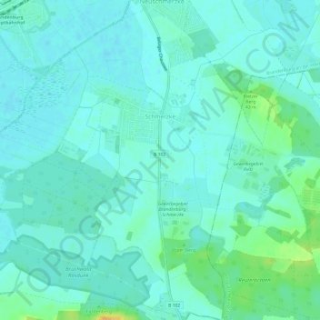
Name: Schmerzke topographic map, elevation, terrain.
Location: Schmerzke, Brandenburg an der Havel, Brandenburg, Deutschland (52.36490 12.55792 52.40169 12.61163)
Average elevation: 105 ft
Minimum elevation: 85 ft
Maximum elevation: 174 ft
Thank you for supporting this site ❤️
Make a donation
Make a donation
Gear up for your next adventure:
As an Amazon Associate, this site earns from qualifying purchases at no extra cost to you.