
Gheen topographic map
Click on the map to display elevation.
About this map
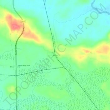
Name: Gheen topographic map, elevation, terrain.
Location: Gheen, Saint Louis County, Minnesota, United States (47.94797 -92.82823 47.98797 -92.78823)
Average elevation: 1,348 ft
Minimum elevation: 1,273 ft
Maximum elevation: 1,516 ft
Saint Louis County trails, hiking, mountain biking, running and outdoor activities