Geolocate

Kidama topographic map

Click on the map to display elevation.

About this map

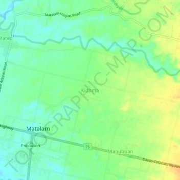
Name: Kidama topographic map, elevation, terrain.

Location: Kidama, Matalam, Cotabato, Soccsksargen, 9406, Philippines (7.07829 124.89395 7.11829 124.93395)

Average elevation: 151 ft

Minimum elevation: 105 ft

Maximum elevation: 203 ft

Gear up for your next adventure:

🧷Carabiner Set - Durable clips for gear attachment
🚪Portable Camp Chair - Foldable chair for comfort at camp
📚Navigation Handbooks - Master the art of reading topographic maps and using a compass
🕶️GPS Smartphone Mount - Secure mount for phone navigation
📻Weather Alert Radios - Stay informed of storm risks while off-the-grid

As an Amazon Associate, this site earns from qualifying purchases at no extra cost to you.