
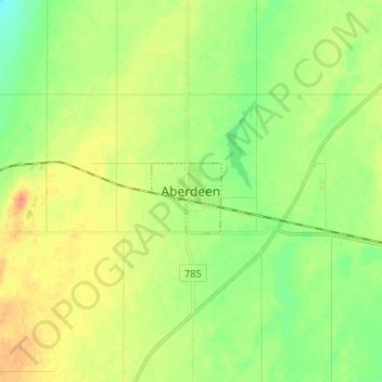
Aberdeen topographic map
Interactive map
Click on the map to display elevation.
About this map
Name: Aberdeen topographic map, elevation, terrain.
Average elevation: 1,703 ft
Minimum elevation: 1,650 ft
Maximum elevation: 1,762 ft
Other topographic maps
Click on a map to view its topography, its elevation and its terrain.
Aberdeen
Canada > Saskatchewan > Aberdeen
Aberdeen, Saskatchewan, S0K 0A0, Canada
Average elevation: 1,699 ft