Geolocate
👉 Easily get elevation data in JSON, GeoTIFF and KML formats using Elevation API
Thank you for supporting this site ❤️
Make a donation

Hao topographic map

Click on the map to display elevation.

About this map

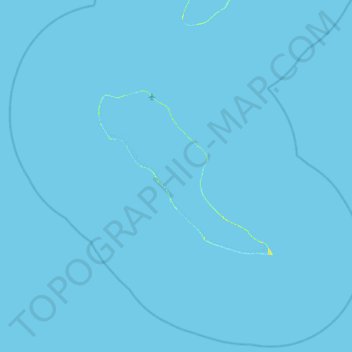
Name: Hao topographic map, elevation, terrain.

Location: Hao, Tuamotu-Gambier, French Polynesia, France (-18.63121 -141.27929 -17.87175 -140.45516)

Average elevation: 0 ft

Minimum elevation: -3 ft

Maximum elevation: 36 ft

Other topographic maps

Click on a map to view its topography, its elevation and its terrain.

Paraoa

France > French Polynesia > Hao

Average elevation: 0 ft

Otepa

France > French Polynesia > Hao

Average elevation: 0 ft

Gear up for your next adventure:

🦶Hiking Gaiters - Keep debris and water out of your boots
💧Water Filtration Bottles - Safely drink from streams and lakes while exploring
🪶Fire Starter Kit - Reliable fire starter for survival and camping
🏥Hiking First Aid Kits - Comprehensive medical kits for remote trail injuries
🔪Outdoor Multitools - Essential survival tools for gear repair and field use

As an Amazon Associate, this site earns from qualifying purchases at no extra cost to you.